


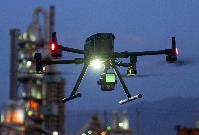
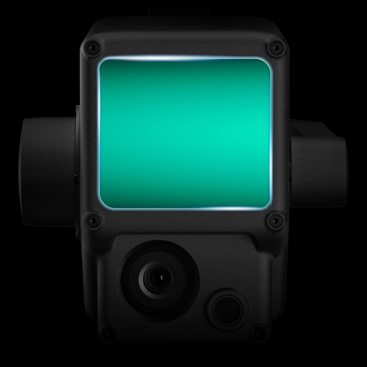
Integrates a Lidar Module,
an RGB camera, and a high-
accuracy IMU

High Efficiency
2 km2
covered in a single flight [1]

High Accuracy
Vertical Accuracy: 5 cm /
Horizontal Accuracy: 10 cm [2]

Point Rate: 240,000 pts/s

Supports 3 Returns

Detection Range: 450 m
(80% reflectivity, 0 klx)

IP44 Ingress Protection Level

Point Cloud LiveView
Digitize without Compromise
Exceptional Efficiency
Generate true-color point cloud models in real-time, or acquire 2 km2 of point cloud data in a single flight [1] using the Livox frame Lidar module with a 70° FOV and a visible light camera with a 1-inch sensor.
Exceptional Efficiency
Render centimeter-accurate reconstructions thanks to the high-accuracy IMU, a vision sensor for positioning accuracy, and the incorporation of GNSS data.
Exceptional Efficiency
The IP44 rating allows the L1 to be operated in rainy or foggy environments. The Lidar module’s active scanning method enables you to fly at night.
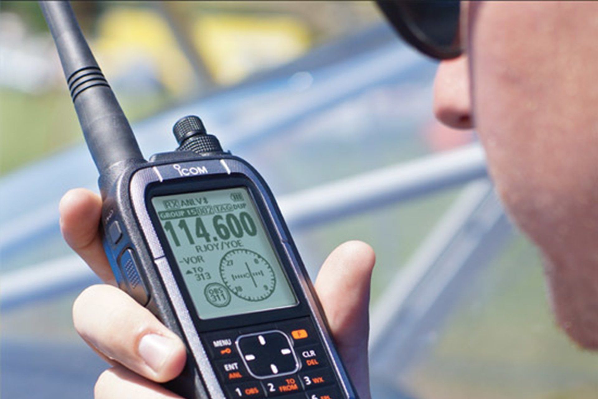
Visualize Data as You Fly
Livox Lidar Module
- Frame Lidar with up to 100% effective point cloud results
- Detection Range: 450m (80% reflectivity, 0 klx) / 190 m (10% reflectivity, 100 klx)
- Effective Point Rate: 240,000 pts/s
- Supports 3 Returns [3]
- Line Scan Mode and Non-repetitive Scan Mode
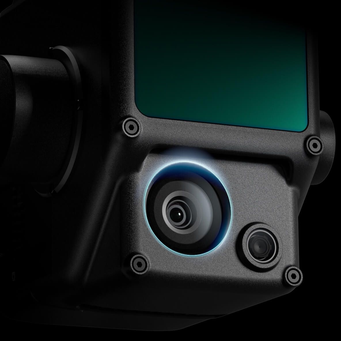
Everything in View
RGB Camera
- 20MP
- 1-inch CMOS
- Mechanical Shutter
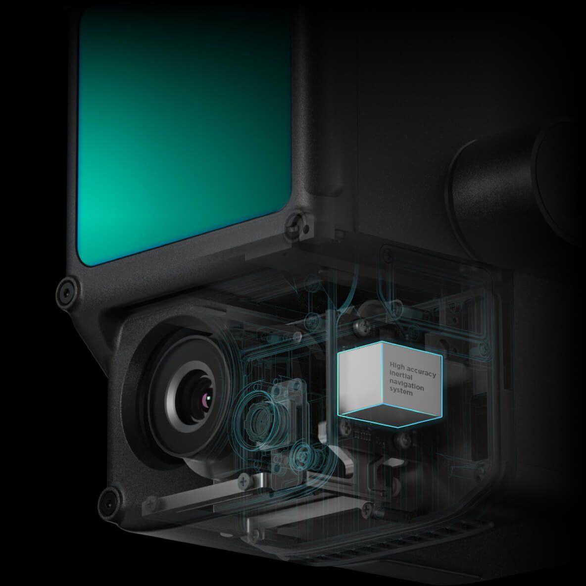
Accurate Details at Your Disposal
High-accuracy IMU
- Accurary: 0.025° (roll/pitch) / 0.08° (yaw)
- Vision Sensor for Positioning Accuracy
- GNSS, IMU, RGB Data Fusion
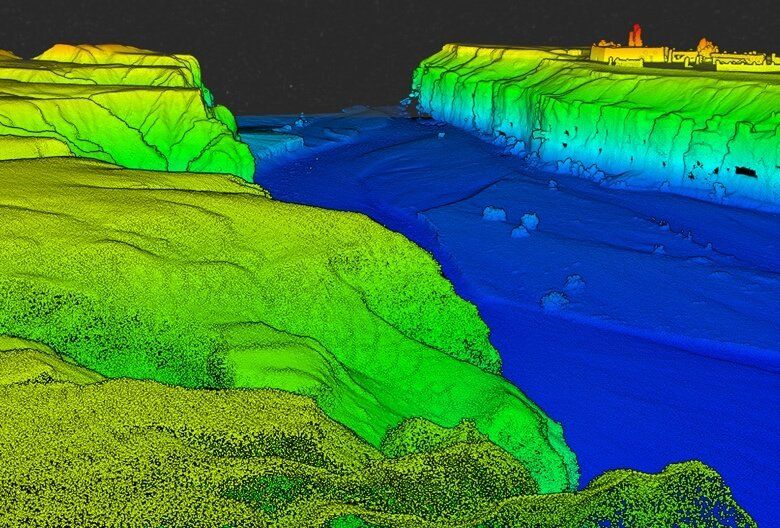
Recreate the World in 3D Point
Clouds
Point Cloud LiveView
Real-time point clouds provide immediate insights onsite, so operators are informed to make critical decisions quickly.
You can also verify fieldwork quality by checking point cloud data immediately after each flight.
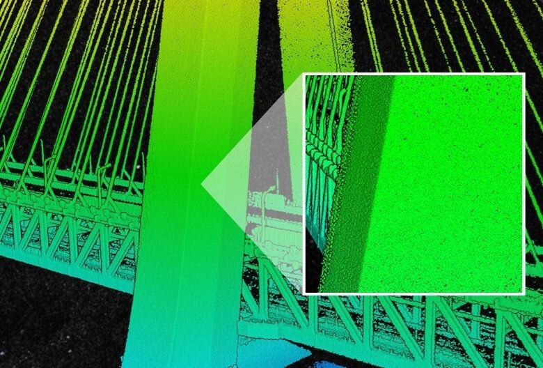
Measurement and Annotation
Acquire and communicate critical dimensions on the point cloud model using measurements and annotations.
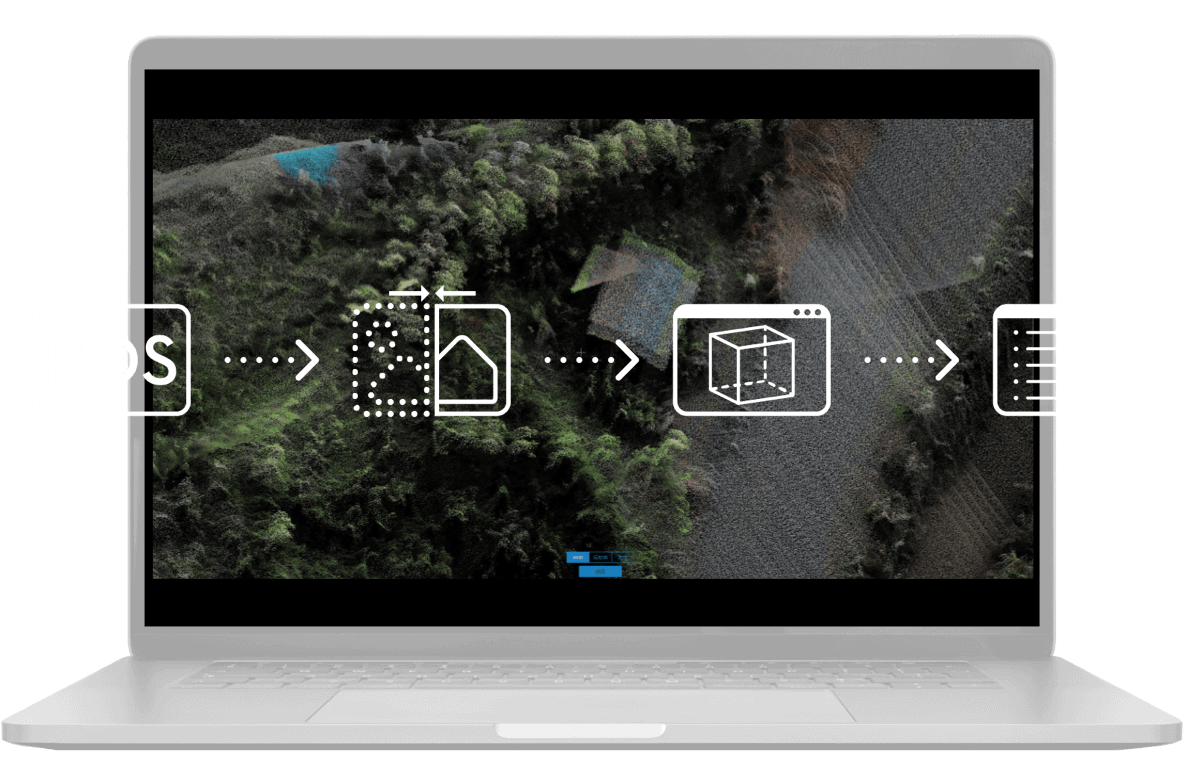
One-stop Post-processing
DJI Terra fuses the IMU and GNSS data for point cloud and visible light calculations, in addition to conducting POS data calculations so you can effortlessly generate reconstructed models and accuracy reports.